Hiking
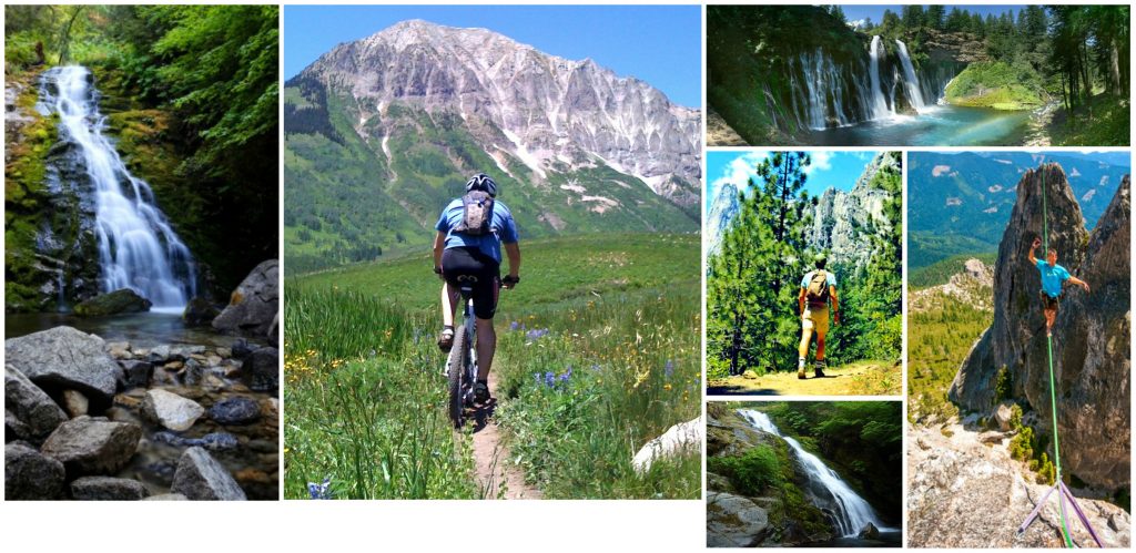
 Hiking can be a great casual family adventure or an intense yet rewarding workout. Shasta Lake and the surrounding areas offer HUNDREDS of trails to choose from that are perfect for mountain biking, running, walking, sightseeing or horseback riding. There is a trail for every level of skill or athletic-ability and, with hundreds of acres of mountainous terrain, each trail provides its own unique experience. Summit Retreat has it’s own 1 ½ mile 12’ wide hiking trail that follows the view of the lake. It is rated ‘moderate’. From the open and developed trails to the hidden waterfalls of Whiskeytown, it’s an adventure!
For a more complete list of trails, please go to ShastaLake.com or HealthyShasta.org
CAUTION & ADVISORY: Be sure to bring water on all hiking excursions as the summer heat can be quite sever and there often is no drinking water access on trails. Also, be on the lookout for rattle snakes and poison oak and steer clear! (http://www.shastalake.com/poisonoak/)
Trail Area Maps:
Recommended Hiking & Walking Trails:
Packers Bay Trails | Moderate – Easy
Packers Bay is a designated wildlife viewing area and is just a short distance from Summit Retreat.
It consists of four trails of varying lengths open year-round:
- Waters Gulch Trail– 2.8 mi good for hiking, running, biking, fishing & wildlife viewing
- Overlook Trail– 0.4 mi good for hiking & sightseeing
- Fish Loop Trail– 0.7 mi good for fishing access, hiking & wildlife viewing
- Eastside Trail– 0.4 mi good for fishing and swimming access & sightseeing
Whiskeytown Trails | Varying Intensity
Whiskeytown Unit contains cool rugged canyons, forests, streams and waterfalls with numerous hiking trails of all moderations.
If you’re up for a little more strenuous hike, Whiskeytown Falls trail (also referred to as James K. Carr Trail) is a MUST. With beautiful terrain from start to finish and a magnificent, recently re-discovered waterfall as your destination point, it might just steal your breath away.
Clikapaudi Trail | Easy
View a Bike-cam Video of a portion of Trail [click here]
Eight mile loop of developed trail, about a 2 hour walk. It is an easy to moderate trail and is excellent for mountain biking, horseback riding, running and hiking. The name Clikapudi comes from the Wintu “Klukupuda” which means “to kill,” referring to a local battle between Wintu Indians and local traders in the 1800s. This is one of the more popular trails on upper Shasta Lake. Trail begins and ends at Jones Valley Boat Ramp Parking Lot.
Castle Crags | Strenuous
If you’re an enthusiastic climber/ hiker, this is the trail for you. With elevations of 2,000ft at the base to 6,500ft at the summit of the tallest crag, it can be quite a steep trek. But the view is well worth it! Read about Castle Crags Wilderness history [here] and get ready for a hike to remember.
Crags Trail is a 5.5 mile round trip hike with 2,200 foot elevation gain. For more detailed information visit the Ca State Park website.
Map of Crags Trail [click here]
Walking | Running Trails
McConnel Foundation- Lema Ranch [click here]
Sacramento River Trail [click here]


